Badami ---- A Part Less Trodden
#badamilesspopular


Badami may be well known for its cave temples of 6th and 7the century, but there are other places, few tourists make an effort to visit.
As you move up along the rows of steps from one Cave Temple to the others, Agasthya Lake on your left becomes more and more visible in its full entirety. It is a lovely lake, big, cool and green — a rain water harvest lake from the time of Badami Chalukyas. It is the catchment of all the deluge that occurs from time to time during the monsoon season. The dry arid place suddenly overflows with rain water and the far-sighted kings of almost two millennia ago made arrangement that the water is not wasted. Unlike modern India, where the wetlands and lakes are filling up with silt deposits and the monsoon rain plays havoc when it overflows the dams, Agasthya Lake must have been dug deep enough to supply water all year round to the capital city. Its sides have wide steps going down into the water. You can spend some time sitting on the steps and cool your tired feet in the water. But be careful, there is no hand rail or any other safe guard. At one side I saw a few women washing clothes. On another side a lone angler was waiting to catch fish! On a third side a few urchins were enjoying themselves. But I did not see anybody actually swimming or bathing in the lake. That can be due to the timing. On a March day, when under the sun the temperature soars to 40 degrees, locals may not be tempted to play in the water!
From the top of the stairs to the Cave Temples, you will have a gorgeous view of the cliff opposite, rising across the emerald lake and on its flat top stands another small temple, the Upper Shivalaya, as a lonely sentinel. This temple is visible from afar, as you drive towards the cave sites.
Across the lake from the caves is the Archeological Museum at Badami. For some reason photography is not allowed within the museum. The most interesting sculpture in the museum is of Fertility, headless torso of a nude woman in birthing position. To go to the museum, you probably can walk on the stone steps of the lake. But I drove down.
It is mentioned in the museum that the famous Kappe Arabhatta inscription, the oldest inscription in Kannada, dated 8th century is outside by the lake. I asked the museum guards, where exactly is it. He vaguely indicated a left hand side route. I walked and walked, beside the lake, then took a left turn, the Deccan crags started to look more like the canyons of American West, but never found the Kappe Arabhatta!
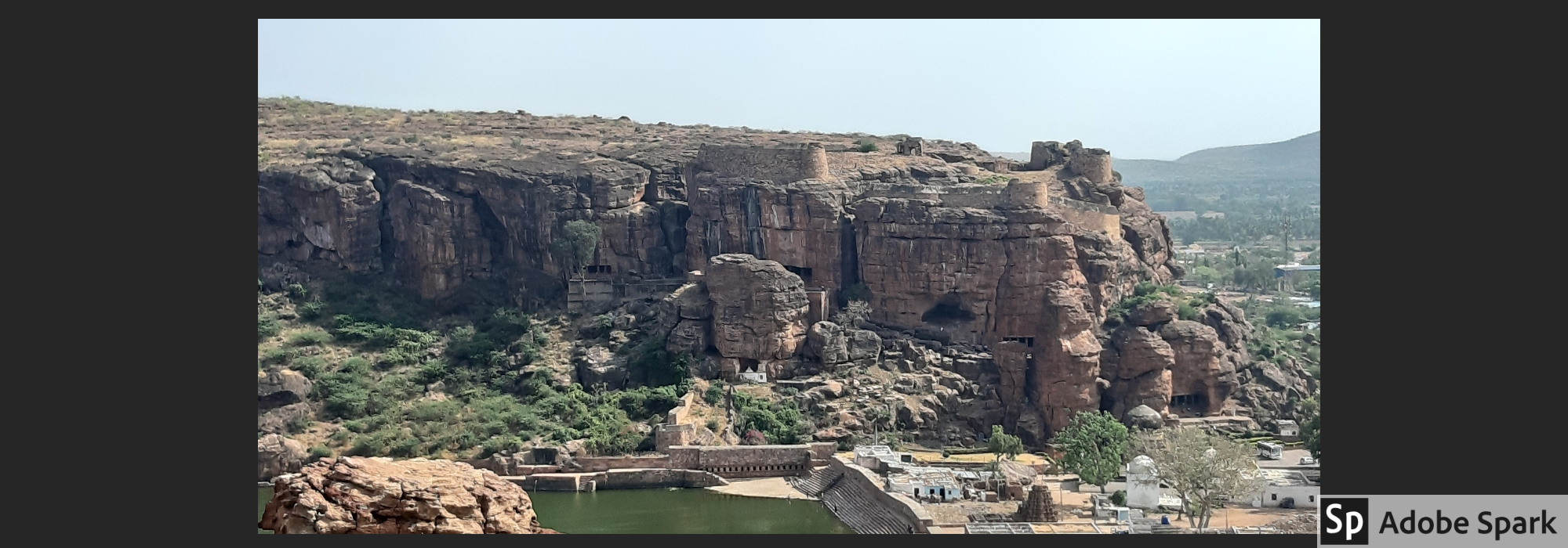
I am not complaining that I had to go on a fruitless walk, as far as Kappe Arabhatta is concerned. Had I not roamed about, I would not have seen the ruins of the old fort. As I have felt many times before, the instructions and directions from ASI in Karnataka is extremely poor. The old walls of the fortress are clearly visible from the walking path, but the gate is closed. It is not mentioned anywhere what time, if ever, the gates open and what can be seen inside. It may be the very old walls from the times of the original Chalukya kings or it may be the reinforced walls of Tipu Sultan. Badami was under Tipu’s rule for a short period. But nothing is written, anywhere, and the guards at the museum are of no help.
I continued walking round the lake to Bhutanatha Temple. The path embraces the lake and you can actually walk on the stone steps. It is possible that a few goats and other animals will accompany you, but they are harmless!
It always amazes me how the ancient temple builders always chose the most stunning spot. All the temples in the Himalayas, all the temples on the shore of the Bay of Bengal in Mahaballipuram, all the temples in the Indian Ocean in Bali --- once you are there, whether you are a devotee or not, the natural beauty will mesmerize you. Until of course the dirty economy of the temple business drives all the spirituality out.
Bhutanatha Temple is no exception. It is built on the lake. A few steps down from the main platform, and you are touching the cool green water. The temple has a simple but sprawling structure. There is nothing much inside the temple and no carving either. I was there in early afternoon, when the sun is at the hottest. But in the early evening, when the sun is gone behind the hills and a breeze rises to touch the rippling waters of the lake, the temple must be a peaceful place to enjoy.
The last spot left was the Upper Shivalaya on top of the table mountain. Had it been western US, the hill would have been called a mesa. Through the deep canyons and gorges, there are massive steps to climb up to the Upper Shivalaya, by-passing the Lower Shivalaya. The Shivalayas are on the same side of the fort, across the lake from the cave temples. It is possible that all these were part of a massive fort structure, and the Shivalaya was on top of that, overlooking the whole capital town and possibly even farther.
The way to the top is steep, strenuous, tortuous and breath-taking. I was ambitious to climb to the top probably within a rather short time. It was not a good idea! I did not have enough water with me and almost fainted under the hot sun, as I am no longer young and my body is out of condition for a quick climb. To enjoy the climb and the view from top, you should tackle it in the afternoon and slowly.
The path to Upper Shivalaya is painstaking, but gorgeous. The sun is hot, but the breeze is cool. The mesa top is as if a natural platform for the rectangular temple with one steeple at one end. It does not have any elaborate carvings either. But it is not for the sculpture or architecture that you pant to the top – it is for the stunning view of the surroundings, of the lake far below and the strong fort walls on top of the hills. The climb is desolate, since hardly any tourist wants to take the pain to negotiate 300 steps to the top. You have an eerie feeling as you gasp and toil and try to convince yourself that the reason you stop at every other step is because the view is striking, and not because your lung seems to explode!
From the level of the lake to the top, there is one intermediate flat level. That is the lower Shivalaya. From there, the fortress walls on top of both sides of the lake is very clear. The whole natural structures were cunningly utilized by the ancient engineers into temples, forts and even an artificial lake which survived 1500 years.
A visit to Badami fills you with a sense of awe and grandeur. The artificial lake between the two sandstone cliff formations, full of beautiful reliefs of gods and mythical creatures, bears testimonial to a bygone era of mighty kings.
Badami is a candidate to UNESCO World Heritage Site. But not all conditions are yet fulfilled to get that stamp.
I have noted before that Karnataka needs to be more tourist friendly. It is good that the places are less crowded, and clean. You will not find plastic cups and chips packets strewn around. At the same time, having a small tea or coffee stall somewhere, would not hurt. Even more appalling is the lack of directions and instructions. It is understandable that ASI will never have enough manpower to be present everywhere. At the same time having proper directions and maps are mandatory to attract tourists who would enjoy going beyond the obvious.
Comments
Badami
An interesting read and great photography. It seems to be a great architectural feat, which is relatively unknown.
Joydeep Ghosh
25-06-2020 00:33:41
Reply here
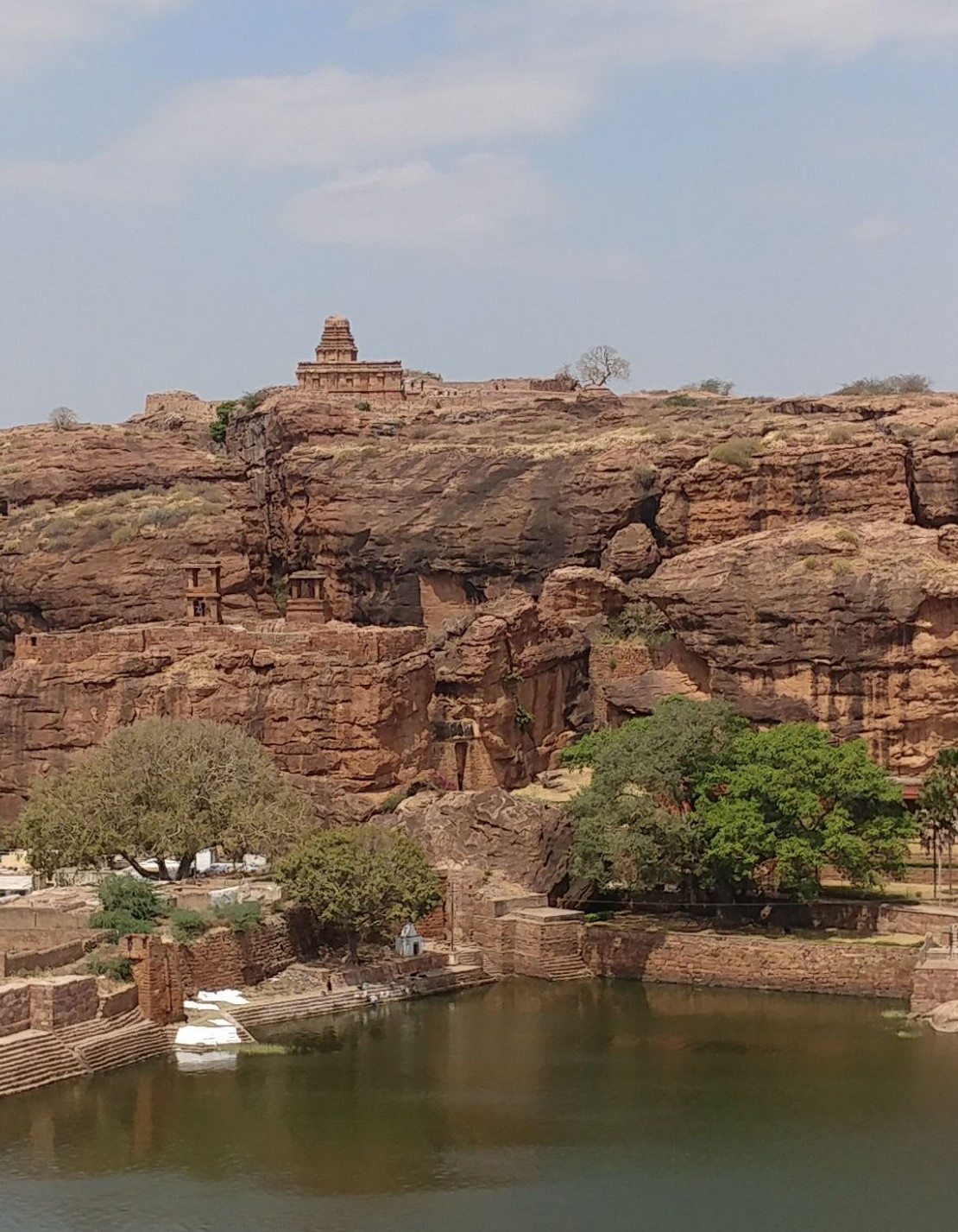 Upper Shivalaya across the Agasthya Lake
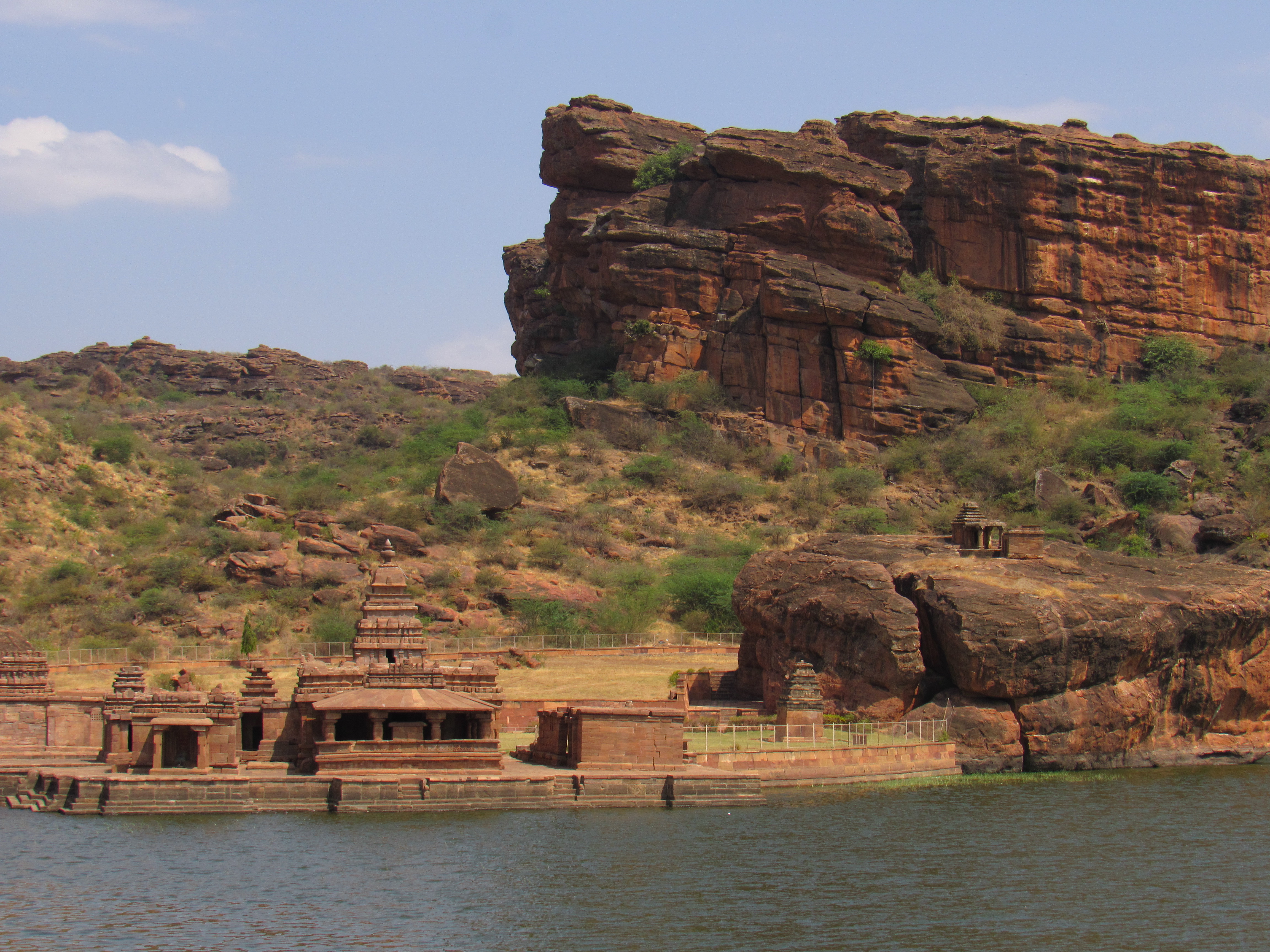 Natural battlement behind the Bhutanatha Temple
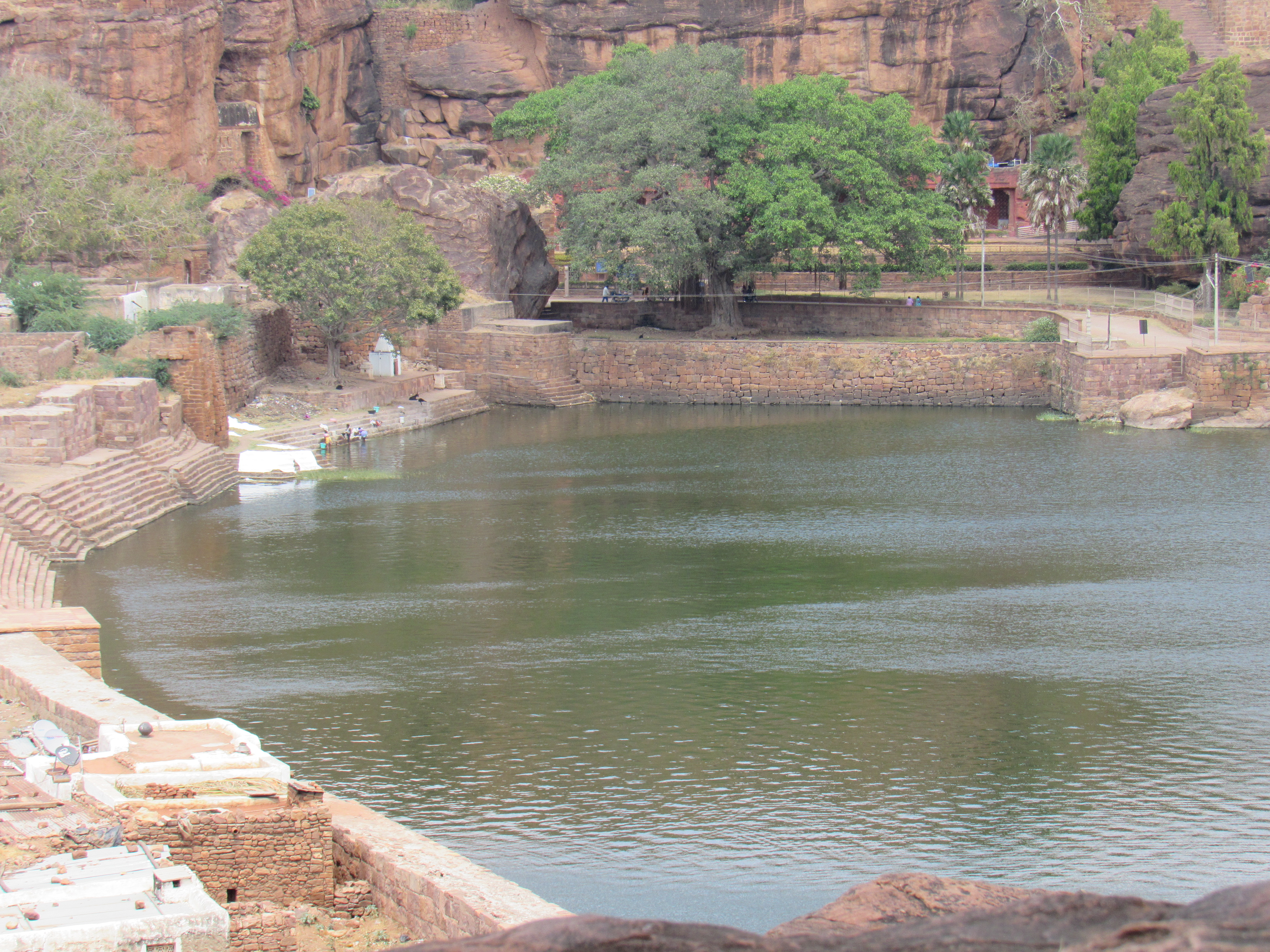 The Viridescent Agasthya Lake
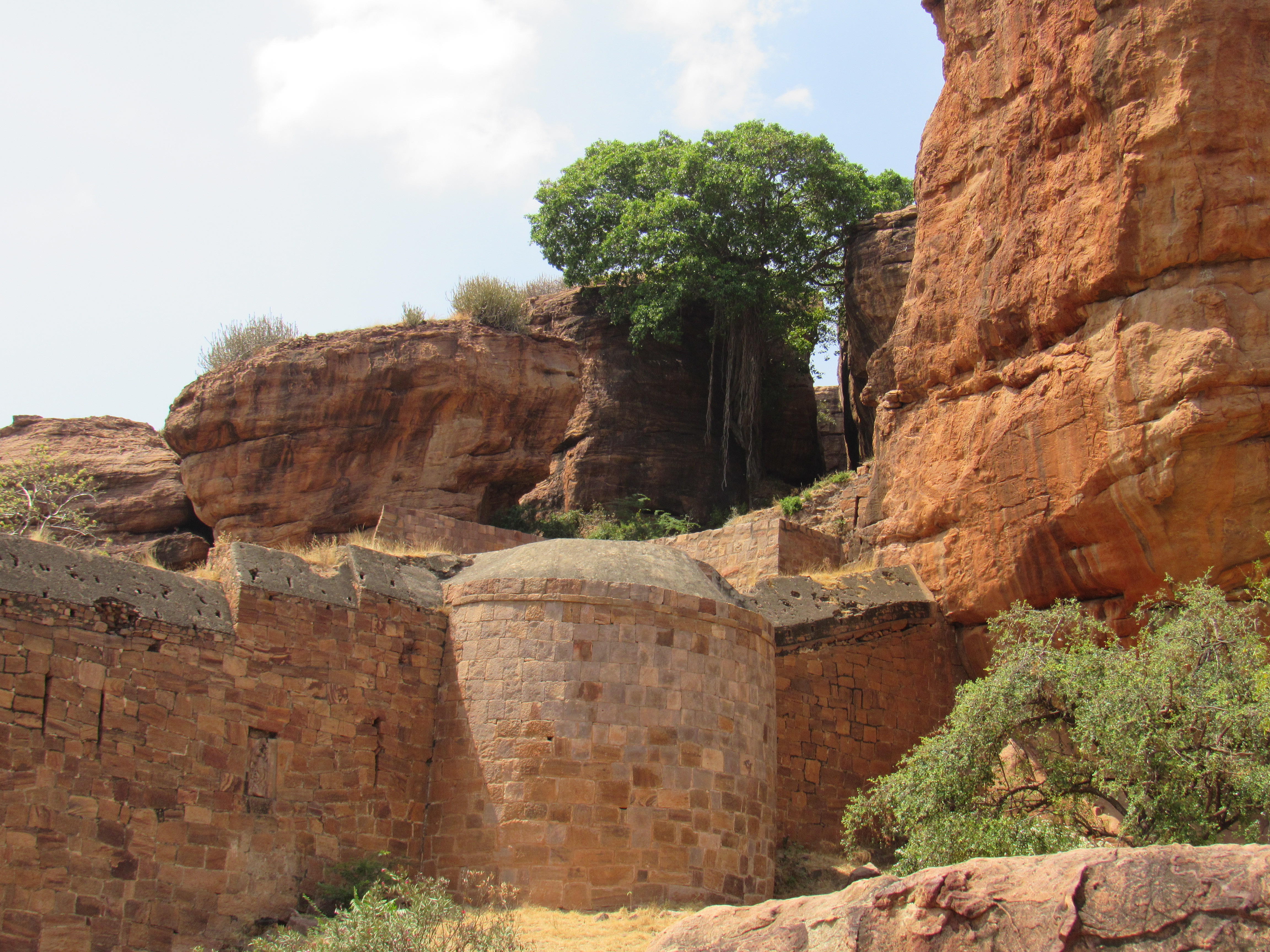 Walls of a long-forgotten Badami fort
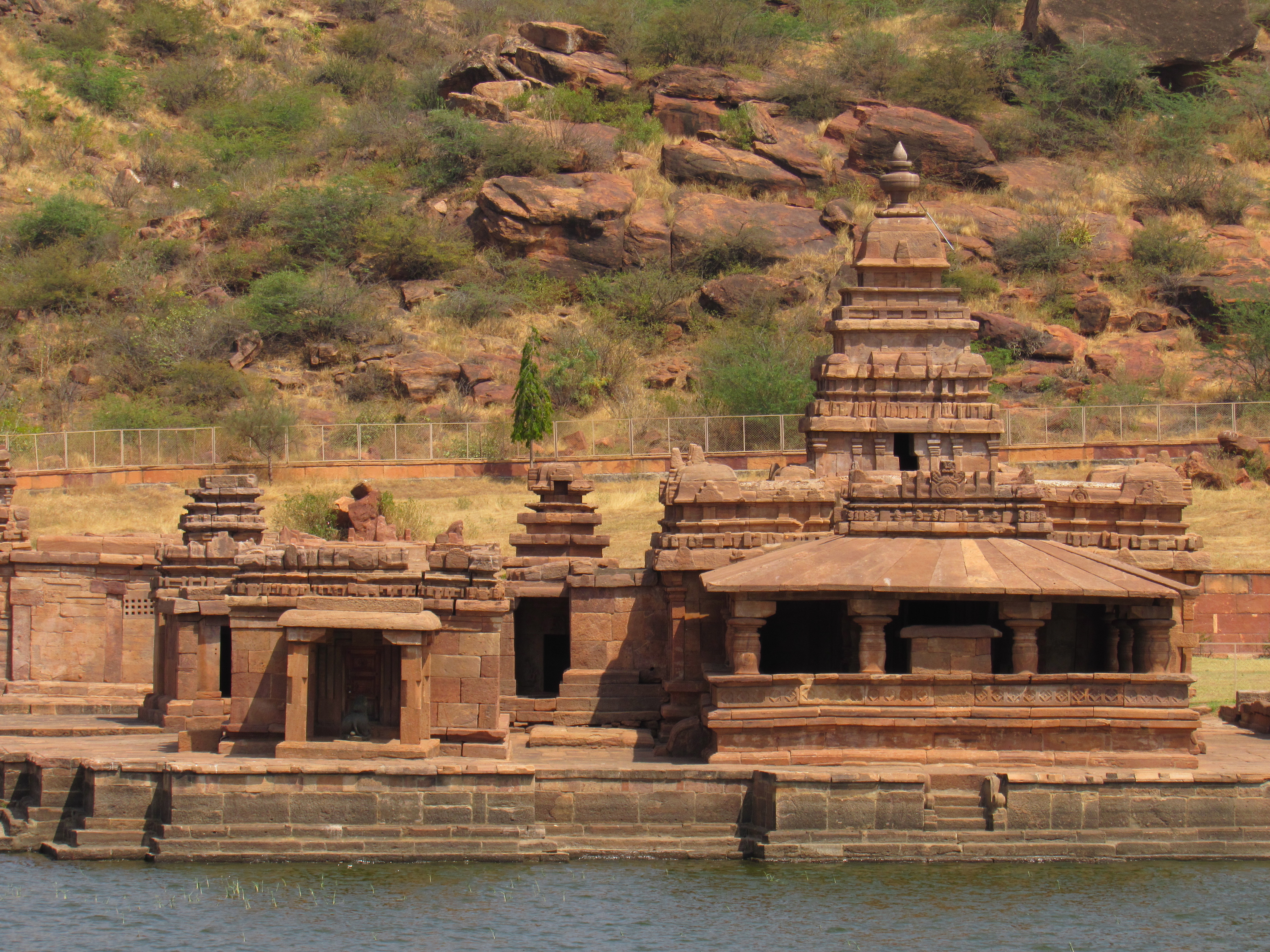 Bhutanatha Temple on the Lake
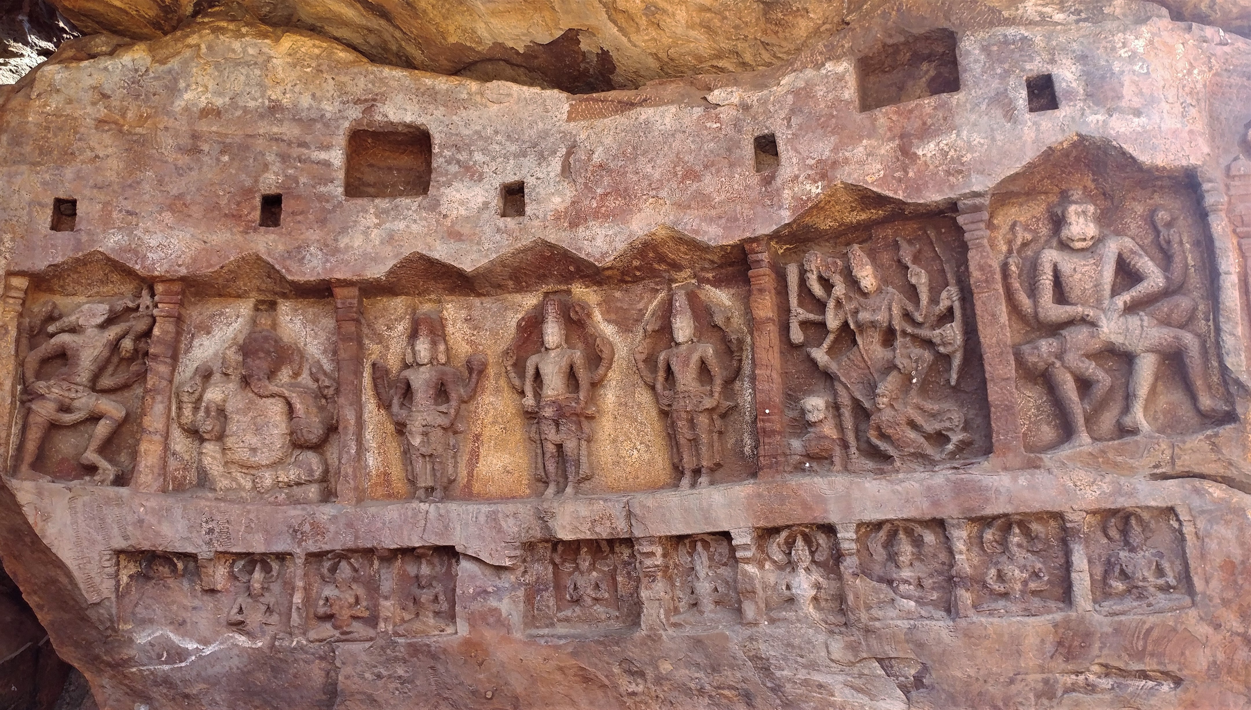 Various avatars of Vishnu inscribed on the rocks
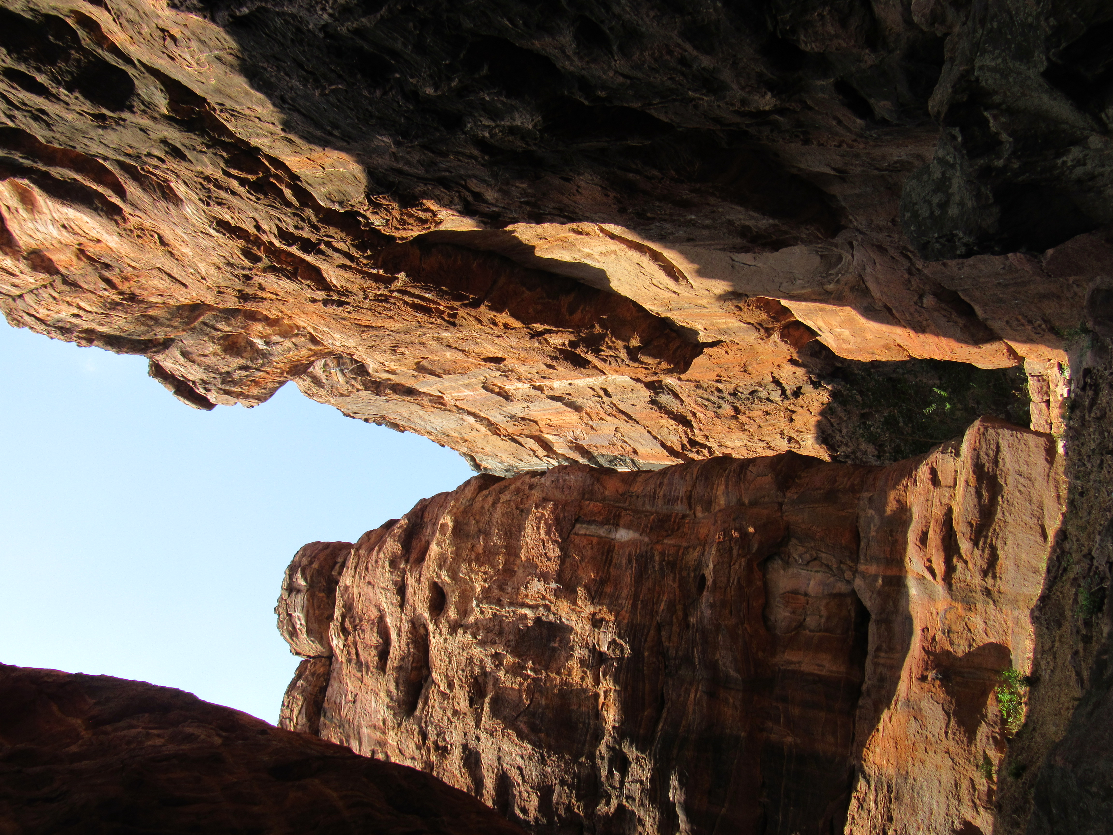 The path to top goes through the deep gorge
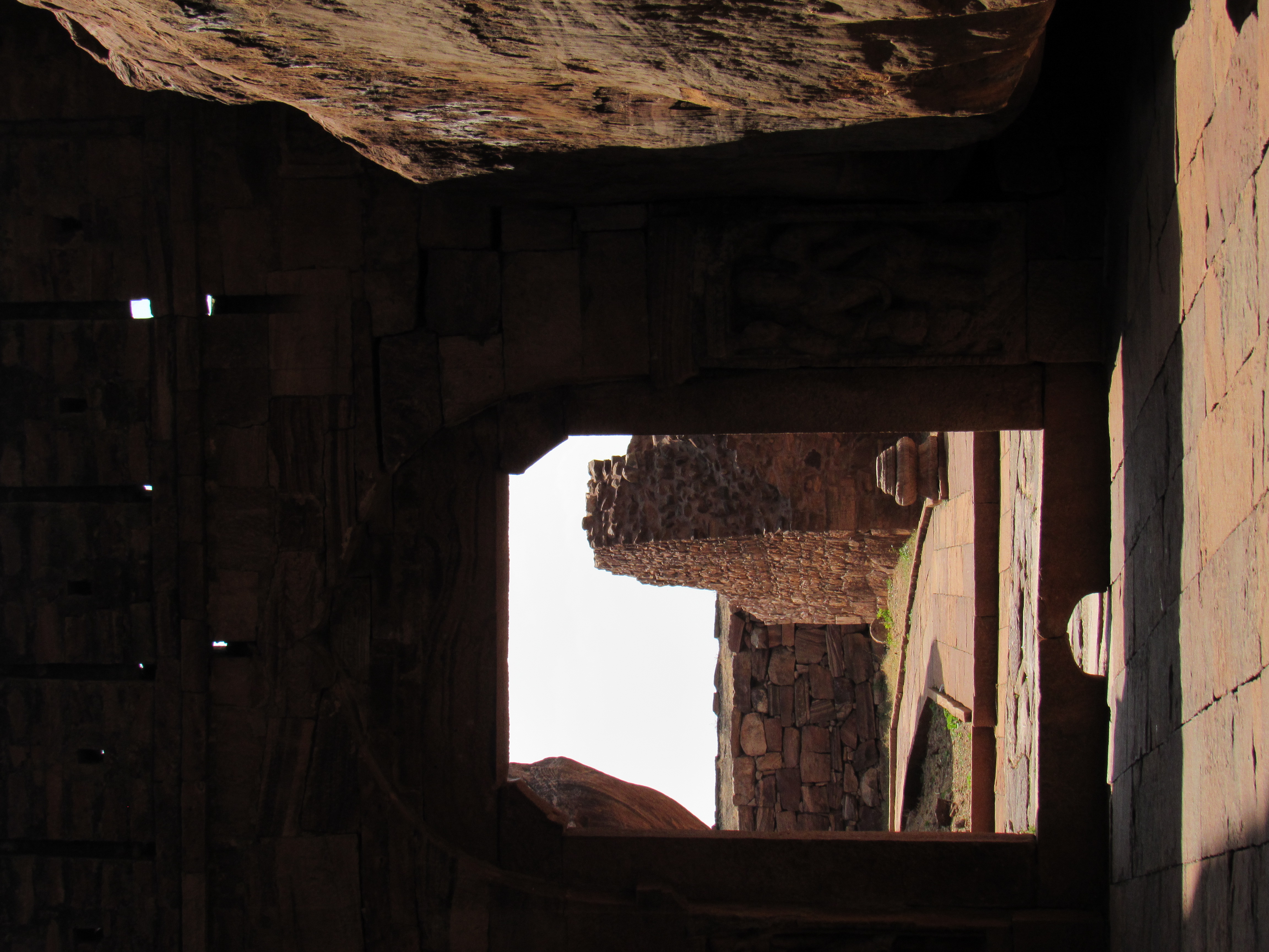 The path traverses fortress walls
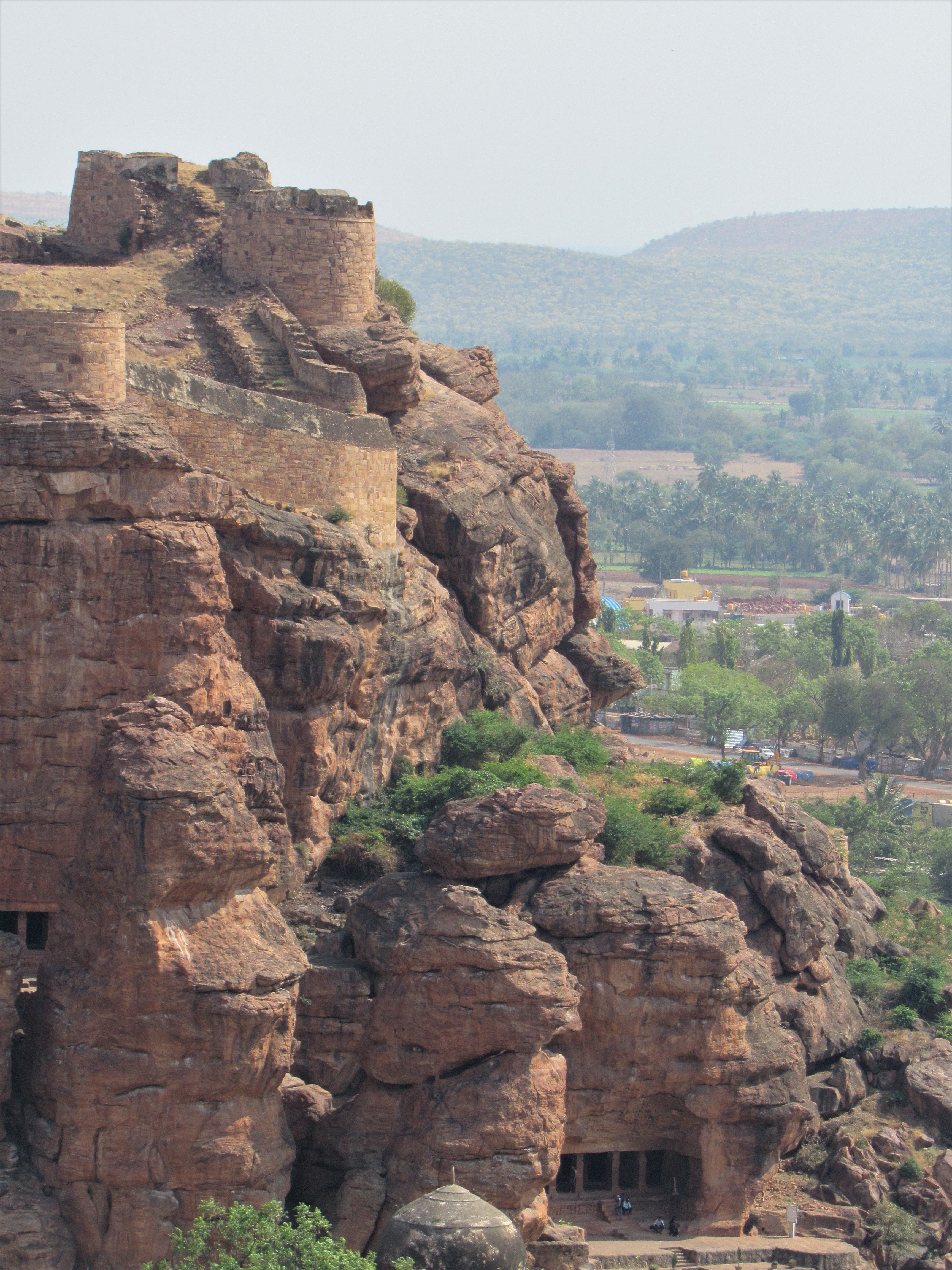 Walls on top of the hill with cave temples visible
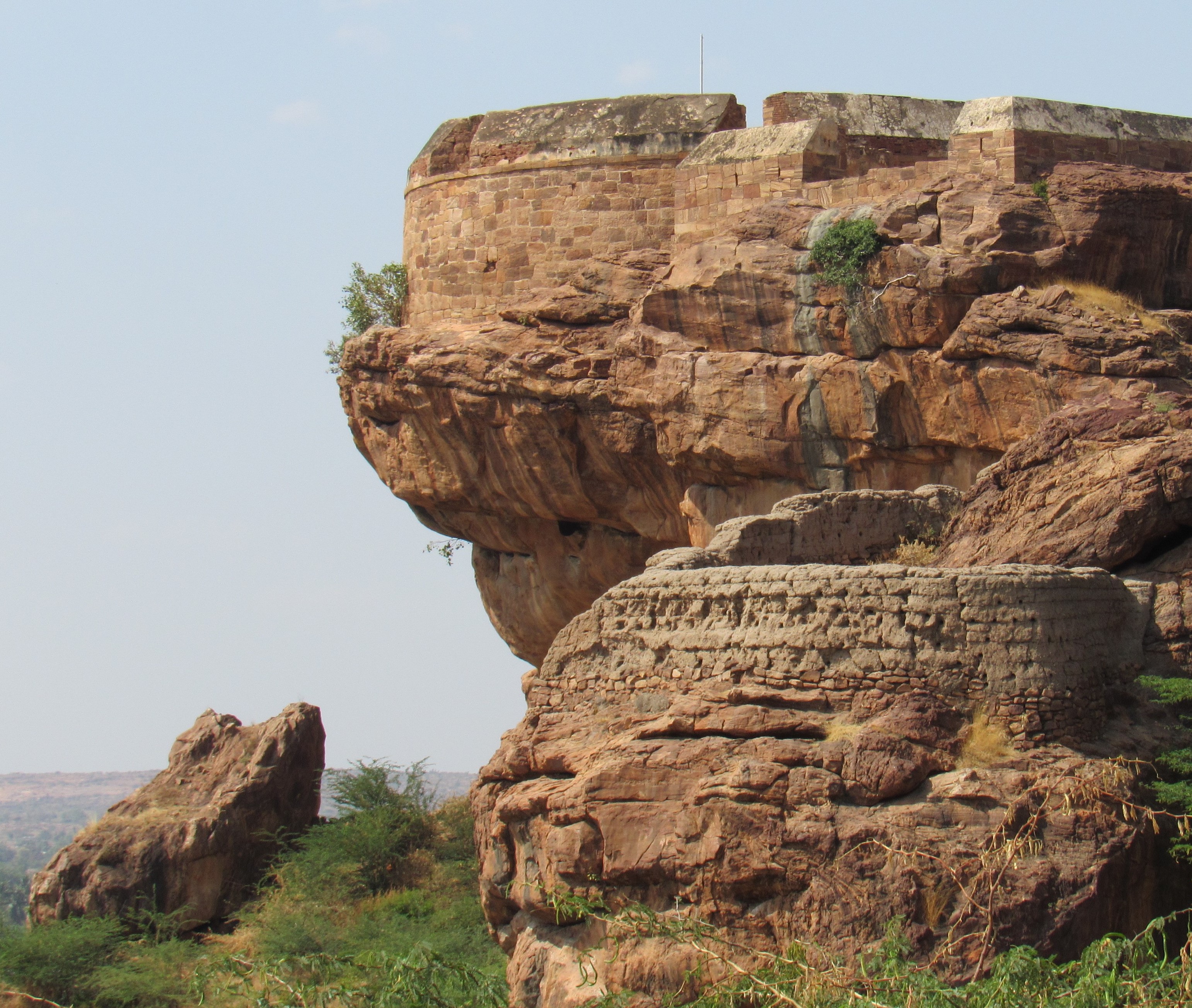 Walls around the hilltop
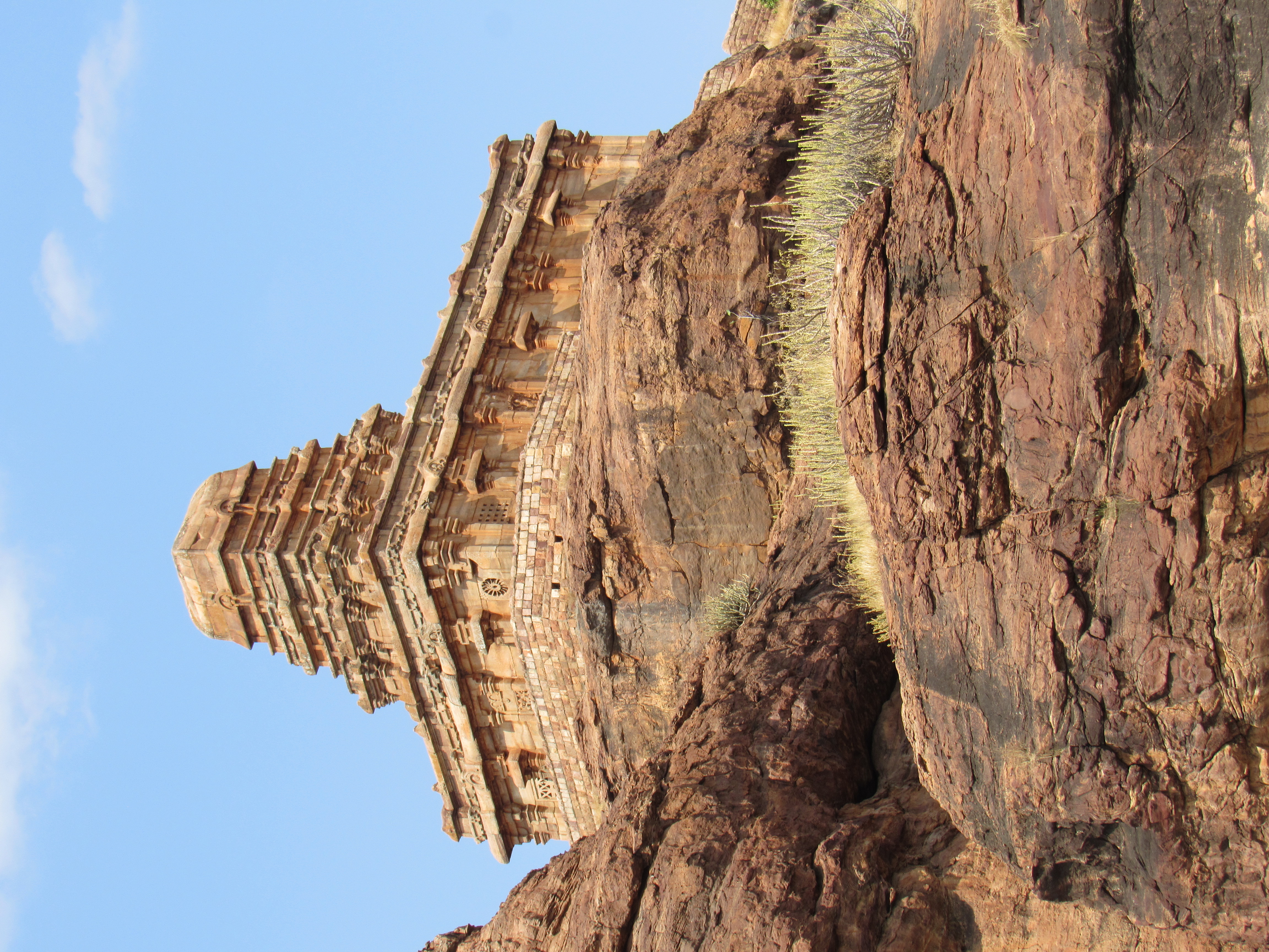 Upper Shivalaya
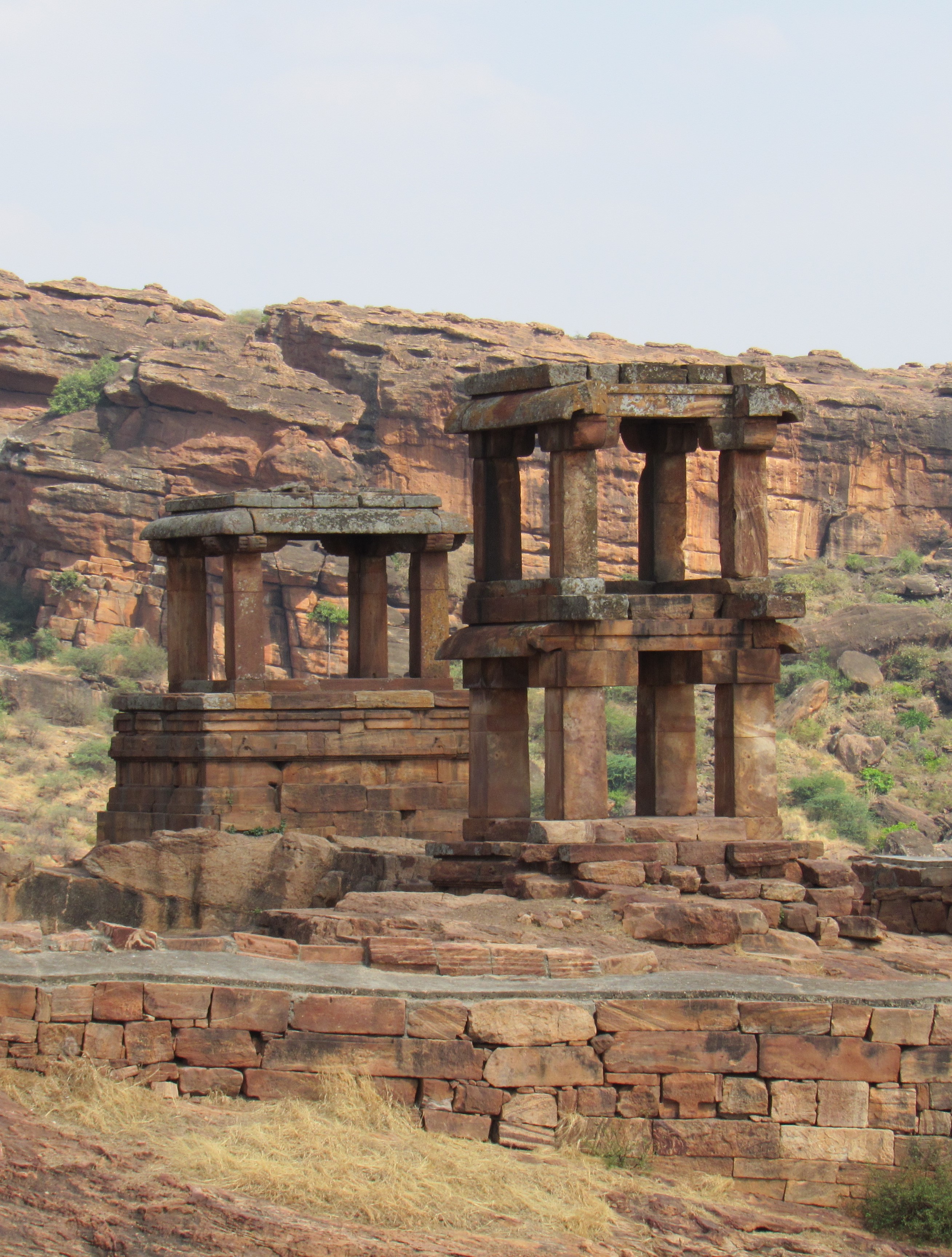 Sentry posts of yore?
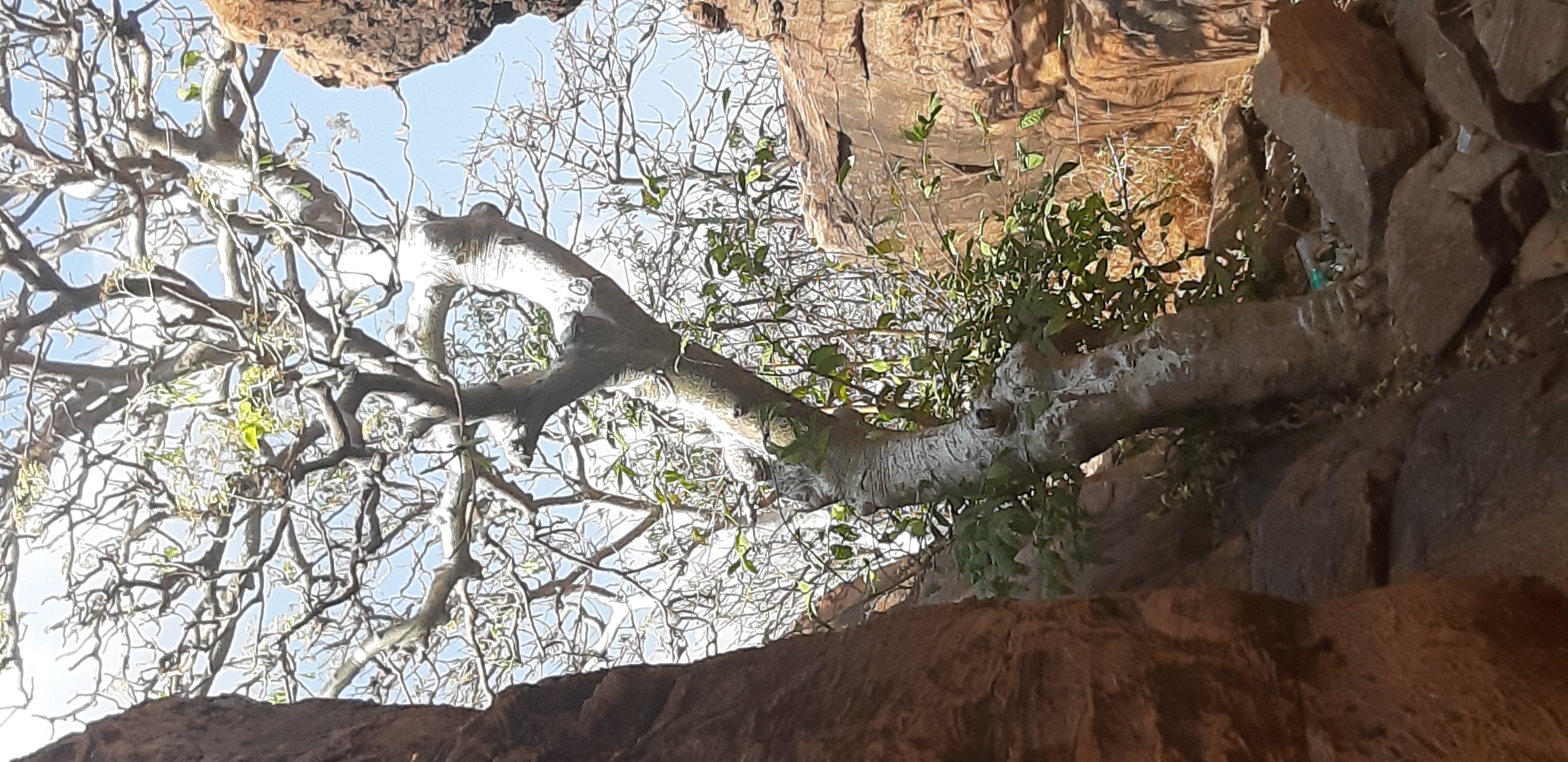 A tree bleached silver by sun and wind


Badami
Attractive but not so famous spot. We have to wait for the pandemic to be over to visit this place.
Soma Gupta
23-06-2020 10:57:26